

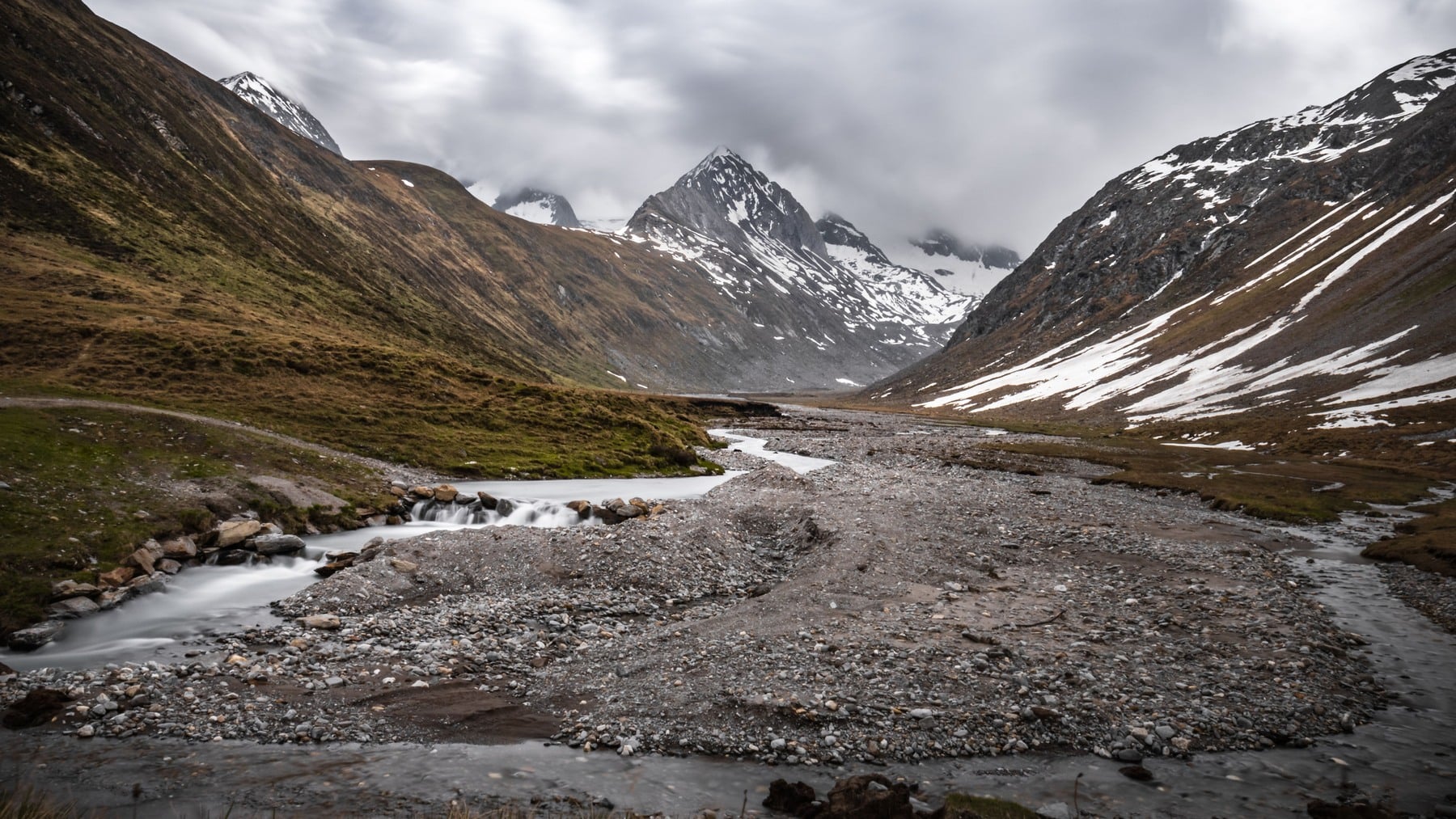
The Alps are not large by continental standards. The Alpine Convention covers roughly 200,000 square kilometres, while the conventional geographical area assigned to Europe is about 10.2 million square kilometres. Using those boundaries, the mountain region occupies just under 2 per cent of the continent.
Its hydrological reach is much larger. Water falling as rain or snow in the Alps enters catchments connected to the Rhine, Rhône, Po and Danube, then travels towards the North Sea, Mediterranean, Adriatic and Black Sea. A relatively narrow mountain arc helps sustain river systems across much of central and southern Europe.
The proportions vary by basin, season, year and measuring station. The widely cited estimates behind the “water tower of Europe” description put the Alpine contribution at between 26 and 53 per cent of annual discharge in the four river systems. In the strongest summer month, the estimated share ranges from 36 per cent for the Danube to 80 per cent for the Po.
That seasonal qualifier does a lot of work.
A small area produces an oversized share of runoff
Mountains force moisture-bearing air upwards. As that air rises and cools, its moisture condenses into rain or snow. High elevations also tend to lose less water through evaporation because temperatures are lower, vegetation seasons are shorter and snow cover persists longer. The Hydrological Atlas of Switzerland identifies this combination as the basis of the Alps’ unusually large water yield.
The mountains are doing two jobs at once. They extract precipitation from passing air, then delay part of its release. Winter snow holds water in place until rising temperatures turn the snowpack into spring and summer runoff.
This makes an Alpine square kilometre more productive as a source of river flow than a typical lowland square kilometre. An European Environment Agency assessment describes the mountain sections of the four large basins as contributing roughly twice the runoff that their share of basin area alone would suggest.
The timing is as important as the total volume.
The four rivers do not depend on the Alps equally
The clearest comparison comes from a table reproduced in reports by the Alpine Convention, the EEA and mountain-water researchers. It separates three things that are often blurred together: the Alpine share of each basin’s land, the average annual share of its discharge, and the maximum monthly share during June to August.
Alpine areas account for about 10 per cent of the Danube basin but contribute an estimated 26 per cent of its annual discharge and up to 36 per cent in a peak summer month. For the Rhine, the corresponding figures are 15 per cent of basin area, 34 per cent of annual discharge and 52 per cent at the summer maximum.
The influence is greater in the Rhône and Po. Mountain land represents about 23 per cent of the Rhône basin and supplies an estimated 41 per cent of annual discharge, rising to 69 per cent in the peak summer month. In the Po basin, 35 per cent of the land provides 53 per cent of annual discharge and as much as 80 per cent at the summer maximum. The Alpine Convention’s full water report sets out those figures and the basin context.
This is where the claim that the Alps can provide most of the water reaching some downstream regions becomes defensible. It applies most clearly to the Po and Rhône, and in the cited data to the Rhine during its highest Alpine-contribution summer month. It does not mean the Alps supply a majority of the Danube’s water.
Nor are these percentages live readings that repeat every year. They are long-term hydrological estimates derived from particular stations and reference periods. A wet lowland summer, a poor snow year, reservoir operations or a prolonged drought can move the actual share.
The river map is a network, not four source points
The Rhine and Rhône have Alpine headwaters. The Po rises at Monte Viso in the Cottian Alps and receives large Alpine tributaries including the Ticino, Adda and Dora Baltea. The Danube is the geographic exception: its headwaters are in Germany’s Black Forest, outside the Alps, but the Inn, Lech, Isar and Drava carry large quantities of Alpine water into the system.
“Fed by the Alps” is therefore more accurate than imagining four simple channels beginning at four glaciers. Each basin is a network of tributaries, lakes, groundwater, reservoirs and lowland rainfall. By the time the Rhine reaches the Netherlands or the Danube reaches the Black Sea, its flow is a mixed record of weather and water management across many countries.
The geography also explains the different percentages. The Alpine part of the Po basin is both large and well placed to support late-summer flow. The Danube’s total catchment stretches much farther beyond the mountains, so its Alpine contribution is diluted by a far larger drainage area.
Snow matters because it changes the calendar
If Alpine precipitation ran downhill immediately, its downstream value would be different. Snow stores part of the winter supply and releases it when temperatures rise. That delayed runoff supports river levels when lowland rainfall is often less dependable and demand from farms, cities, industry, navigation and energy systems is higher.
Glaciers add another store, but Alpine water should not be treated as a synonym for glacier melt. Rain and seasonal snow account for much of the mountain contribution at basin scale. A 2016 modelling study of glacier runoff estimated sharply different summer shares at different stations, from about 6 per cent for the Rhine at Basel to 53 per cent for the Rhône at Chancy near Geneva. It also reported substantial uncertainty around those estimates.
That distinction matters because glacier photographs can dominate the story. Glaciers are important in high catchments and can buffer flow during hot, dry periods, but the continental water-tower function also depends on ordinary rainfall, seasonal snow, soils, wetlands, lakes and managed reservoirs.
A warmer climate changes the timing before the total
Warmer winters can turn snow into rain and bring the melt season forward. That may raise runoff during colder months while leaving less stored water available later. Annual precipitation does not have to collapse for summer flow to weaken.
A study published in Geophysical Research Letters examined streamflow from 827 catchments in Austria, France, Germany and Switzerland between 1970 and 2017. As a European Commission summary of the peer-reviewed paper explains, reduced-snowmelt droughts made up a higher proportion of drought events above 1,500 metres during 1994 to 2017 than during 1970 to 1993.
This does not translate neatly into one forecast for every river. The basins face different rainfall patterns, storage infrastructure and water demand. Human activity also changes what appears at a gauge: reservoir releases, abstraction and groundwater use can amplify or soften the hydrological signal.
The larger direction is harder to dismiss. The EEA’s 2024 assessment of Europe’s water identifies declining mountain snow and ice among the pressures on the Rhine, Danube and Po, alongside drought, pollution, altered river channels and rising demand.
A continental dependency concentrated in the mountains
Alpine runoff supports irrigation in the Po Valley, shipping on the Rhine and Danube, hydropower, industrial cooling, public water supplies and river ecosystems. These uses are connected by the same seasonal flow, which means a shortage is not confined to one sector or one national border.
The figures do not mean that every litre in these rivers can be traced to snow or rain in the Alps. They show that small, high catchments contribute much more water than their area alone would predict, particularly during the part of the year when downstream regions have the least room for a shortfall.
The measurements to watch are now not only how much precipitation falls, but whether it arrives as snow or rain and when it reaches the rivers below.